– Teresa Madaleno:
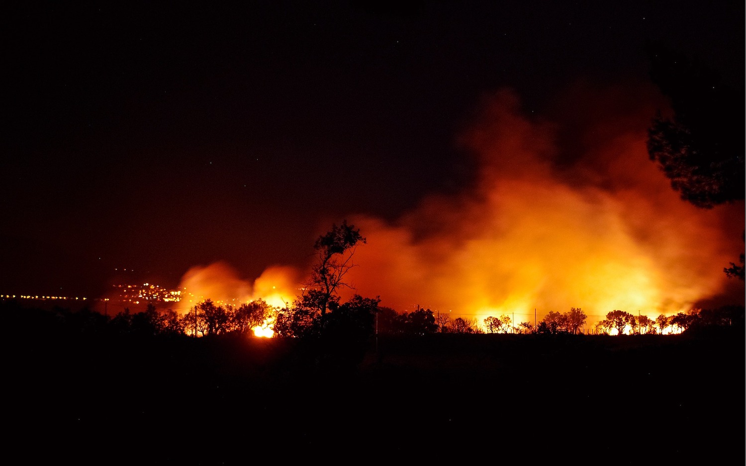
Scientific research supports the notion that extreme rain, droughts, and forest fires have become more frequent and more severe because of climate change. It is crucial that steps be put in place to protect structures from hurricane-force winds, but designing buildings with extreme weather has been difficult until now.
Researchers at the National Institute of Standards and Technology (NIST) in the United States have taken 100 years of hurricane data and married it with Artificial Intelligence techniques to develop a method of digitally simulating hurricanes. The Environmental News Network reports that the simulations can “accurately represent the trajectory and wind speeds of a collection of actual storms.’ The researchers believe that simulating various hurricanes with AI can help in developing building design guidelines, especially in areas of the world that are more prone to extreme weather events.
Typically, building codes direct designers to standardized maps, that depict the level of wind that structures can endure, based on location and type. For example, a hospital will rank high on a map. Wind speeds on the maps come from hypothetical hurricanes created by computer models. With AI, simulated storms can be used to create data in maps more directly.
To develop the latest maps, researchers simulated the inner workings of hurricanes, influenced by sea surface temperature, and the roughness of the Earth’s surface. Accompanying data on these factors isn’t always available. Fast forward at least 10 years and advances in AI, as well as more hurricane records, have made an advanced technical approach possible. This means more realistic hurricane wind maps could be developed soon.
Researchers will continue their work to advance coastal maps of extreme wind speeds, as well as quantify uncertainty in estimates of speed. The team hopes to eventually be able to propose new maps that can be added to building standards codes.


